说明:本篇博文地图充满div,上一篇博文是充满整个body
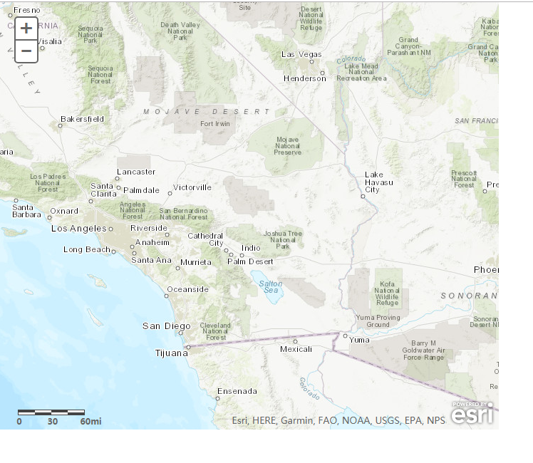
运行效果:
2、HTML代码
<!DOCTYPE html>
<html>
<head>
 <meta http-equiv="Content-Type" content="text/html; charset=utf-8"/>
 <title>Scalebar应用</title>
   <link rel="stylesheet" type="text/css" href="http://localhost/arcgis_js3_api/library/3.3/jsapi/js/dojo/dijit/themes/claro/claro.css"/>
<link rel="stylesheet" type="text/css" href="http://localhost/arcgis_js3_api/library/3.3/jsapi/js/esri/css/esri.css" />

<style>
      html, body { height: 100%; width: 100%; margin: 0; padding: 0; }
      #map{padding:0;}
    </style>

    <script>var dojoConfig = { parseOnLoad: true };</script>

    <script type="text/Javascript" src="http://localhost/arcgis_js3_api/library/3.3/jsapi/init.js"></script>
<script type="text/Javascript">
    var MyMap;
    var MyTiledMapServiceLayer;
    dojo.require("dojo.parser");
    dojo.require("dijit.layout.BorderContainer");
    dojo.require("dijit.layout.ContentPane");
    dojo.require("esri.map");
    dojo.require("esri.dijit.Scalebar");
    var map;

    function init() {
        map = new esri.Map("map", {
            basemap: "topo", // 指定的地图底图.有效选项:"streets","satellite","hybrid","topo","gray","oceans","national-geographic","osm".
            center: [-116.093, 34.218],
            zoom: 7
        });

        dojo.connect(map, "onLoad", function (theMap) {
            var scalebar = new esri.dijit.Scalebar({
                map: map, // 必须的
                scalebarUnit: "english"  // 指定比例尺单位,有效值是"english" or "metric".默认"english"
            });
        });
    }

    dojo.ready(init);  // 初始化加载
    </script>
  </head>

  <body class="claro">
      <div style="width:700px;height:600px;">
    <div data-dojo-type="dijit.layout.BorderContainer"
         data-dojo-props="design:'headline', gutters:false"
         style="width: 100%; height: 100%; margin: 0;">

      <div id="map"
           data-dojo-type="dijit.layout.ContentPane"
           data-dojo-props="region:'center'"
           style="overflow:hidden;">
      </div>

    </div>
          </div>
  </body>


</html>
其中代码
     map = new esri.Map("map", {
            basemap: "topo", // 指定的地图底图.有效选项:"streets","satellite","hybrid","topo","gray","oceans","national-geographic","osm".
            center: [-116.093, 34.218],
            zoom: 7
        });
也可以改写为如下形式:
map = new esri.Map("map", { center: [-122.445, 37.752], zoom: 4 });
MyTiledMapServiceLayer = new esri.layers.ArcGISTiledMapServiceLayer
("http://localhost/arcgis/rest/services/DZDT2012/MapServer");
map.addLayer(MyTiledMapServiceLayer);